© Photo: Oberösterreich Tourismus GmbH./Robert Maybach: Enjoy the view in Upper Austria


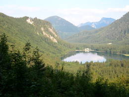
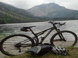
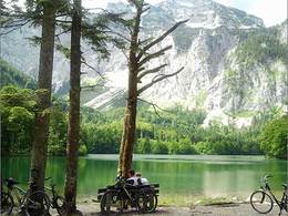
Mountainbiketour: Traunkirchen - Neukirchen - Lueg - Langbathseen - Ebensee - Traunkirchen


- Flatly
Interactive elevation profile
Create PDF
Tour-Details
Path number: 54
Starting place: 4801 Traunkirchen
Destination: 4801 Traunkirchen
duration: 3h 22m
length: 34,8 km
Altitude difference (uphill): 377m
Altitude difference (downhill): 458m
Lowest point: 420m
Highest point: 858m
difficulty: medium
condition: medium
panoramic view: Some Views
Paths covering:
Asphalt, Pushing section, Gravel
powered by TOURDATA
Journey time: approx. 3 hours
Kilometres: 34 km
Difference in altitude: 405 metres
further information:
- Flatly
details mountainbike
- Riding technique: easy
- Suitable for friends
- Spring
- Summer
- Autumn
Please get in touch for more information.
4801 Traunkirchen
Phone +43 7612 74451
E-Mail traunkirchen@traunsee.at
Web www.traunsee.at
http://www.traunsee.at
Interactive elevation profile
Create PDF
Tour-Details
Path number: 54
Starting place: 4801 Traunkirchen
Destination: 4801 Traunkirchen
duration: 3h 22m
length: 34,8 km
Altitude difference (uphill): 377m
Altitude difference (downhill): 458m
Lowest point: 420m
Highest point: 858m
difficulty: medium
condition: medium
panoramic view: Some Views
Paths covering:
Asphalt, Pushing section, Gravel
powered by TOURDATA