© Photo: Oberösterreich Tourismus GmbH./Robert Maybach: Enjoy the view in Upper Austria


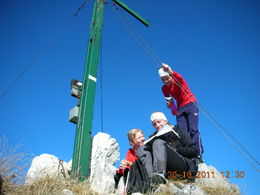
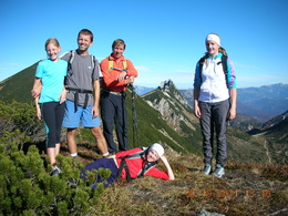
Braunedl (from Postalm)


- Suitable for families
Interactive elevation profile
Create PDF
Tour-Details
Starting place: 5350 Strobl
Destination: 5350 Strobl
duration: 3h 0m
length: 4,4 km
Altitude difference (uphill): 755m
Altitude difference (downhill): 72m
Lowest point: 1.137m
Highest point: 1.849m
difficulty: medium
condition: medium
panoramic view: Great panorama
Paths covering:
Gravel, Hiking trail
powered by TOURDATA
A beautiful, moderately difficult hike to the summit.
This climb takes about 2.5 to 3 hours.From car park 1, walk 300m towards Strobl until you reach the bridge. Then go right onto the Almstraße road for 1 km to a sharp right-hand bend. Turn left here onto a path and climb up through the forest and over the meadows up to the managed Rettenegghütte hut. The marked climb from the front of the hut, leads first to the Schneegruben and then over the steep eastern flank following several bends to the summit of the Braunedel Mountain. Descend either the same way as the ascent or via the Moosbergsattel.
Parking
- Parking space: 100
- Suitable for seniors
- Suitable for families
- Suitable for friends
- Suitable for couples
- Spring
- Summer
- Autumn
Please get in touch for more information.
Au 140
5360 St. Wolfgang im Salzkammergut
Phone +43 6138 8003
E-Mail info@wolfgangsee.at
Web www.wolfgangsee.at
http://www.wolfgangsee.at
Interactive elevation profile
Create PDF
Tour-Details
Starting place: 5350 Strobl
Destination: 5350 Strobl
duration: 3h 0m
length: 4,4 km
Altitude difference (uphill): 755m
Altitude difference (downhill): 72m
Lowest point: 1.137m
Highest point: 1.849m
difficulty: medium
condition: medium
panoramic view: Great panorama
Paths covering:
Gravel, Hiking trail
powered by TOURDATA