MTB - Danube-GIS-Route
Starting place: 4100 Ottensheim
Destination: 4100 Ottensheim


Short description:
From the lowest to the highest point of the Southern Granite Land – from the Danube to the Gis – this route leads the way.
Quality of experience: *****
Recommended season:
- April
- May
- June
- July
- August
- September
- October
Properties:
Description:- Loop
- Scenic
- Refreshment stops available
Right at the start, the ride along the unspoiled Bleicherbach is a highlight. Via Gramastetten and Eidenberg, you reach the Gis on partly challenging paths, where a rest is well deserved.
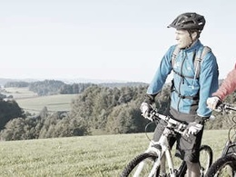
"Scenic" is then the return route to Ottensheim. You definitely should not miss the short detour to the Danube view. There, and on the descent from the Dürnberg, you have a magnificent panoramic view from the hill country of the Mühlviertel over the Danube valley all the way to the Alps.
A feeder route from the Walding Sports Park (D1) also leads to this round.

Gasthaus zur Gis
Most economical season
- Spring
- Summer
- Autumn
Please get in touch for more information.
Lindengasse 9
4040 Linz
Phone +43 732 7277 - 800
Fax machine +43 732 7277 - 804
E-Mail info@donauregion.at
Web www.donauregion.at
https://www.donauregion.at