

Welser Höhenweg - Crossing the Totes Gebirge - 5th stage


- Possible accommodation
Interactive elevation profile
Create PDF
Tour-Details
Paths covering:
experience of the high alpine crossing possible and complete it with the most pleasant
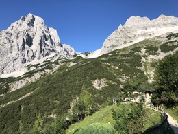
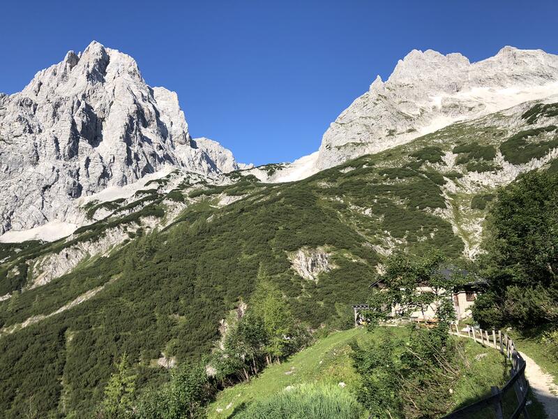
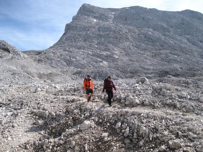
accommodation options. At the end of this short high alpine holiday for experienced mountain hikers, the Schönberg (2,090m) awaits, climbed via its east ridge (wire rope insurance, not very difficult).
Walking time: approx. 4 h
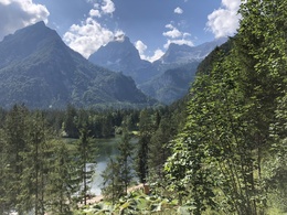
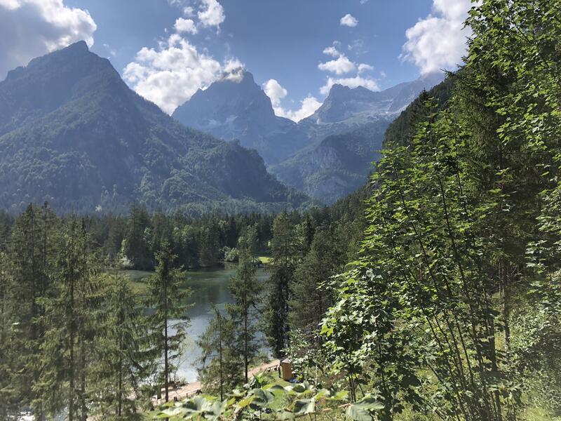
After a very hospitable overnight stay at the Ischlerhütte, we set off on our descent without any time pressure, which starts with an ascent to the valley end of the concave Ischleralm. The descent is impressively idyllic, as is the wide plain of the Rettenbachalm (630 m, 1 hour walk). A morning coffee would be a good idea here, and we don't have any time stress, especially as we know that trains run to Wels / Linz at least every hour, so no reservation was necessary.
After leaving the Rettenbachalm, a long march follows along the Rettenbach stream to Hinterstein, the start of Bad Ischl, which we reach after around 1.5 hours. The further descent to Bad Ischl (468 m) is like an entertaining walk through a suburb, from which there are always beautiful views of buildings and legacies from the monarchy, which was cultivated here in all its glamour. After all, Bad Ischl was the favourite second home of Emperor Franz Joseph II. We reach the Traun, which we cross into the town centre. Here we decide to have a cosy lunch before strolling towards the train station (we already know Bad Ischl).
It doesn't take long before the train arrives at the station, taking us through the sleepy villages and towns of the Salzkammergut, past Lake Traunsee, the Traunstein and with a magnificent view back to the last summit of the Welser Höhenweg, the Schönberg, back to Wels. Our thoughts are still up there in the Totes Gebirge mountains, in the perfect wilderness that seems so close to us and yet so far away in everyday life.
But with good visibility, you can see those peaks and valleys in the distance, and those experiences and impressions appear before your mind's eye again, making our short holiday, which only lasted five days, seem much longer than it actually was.
- Summer
Please get in touch for more information.
Bahnhofstrasse 64
4600 Wels
Phone +43 7242 78670
E-Mail wels@oeav.at
Web www.alpenverein.at/wels
Interactive elevation profile
Create PDF
Tour-Details
Paths covering: